 vesseltracker.com
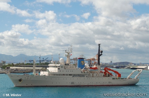
Hakuho Maru
Current StatusWhere is the vessel?
Hakuho Maru is currently in Near Shimonoseki, based on AIS data received less than 1h ago.
Latest AIS update:
Current position: 33.94207° N, 130.92734° E (Near Shimonoseki)
Average speed (last 7 days): Loading…
Average speed (last 30 days): Loading…
Vessel profile: Hakuho Maru is a Fishing Support Vessel with dimensions 16m x 100m.
This page combines live AIS, route history, probable destination signals, nearby traffic, and port activity for practical vessel monitoring.
The current position of vessel Hakuho Maru is 33.94207 lat / 130.92734 lng. Updated: 2026-05-15 18:02:16 UTCNearest reference points:
- Near Shimonoseki
- Near Kokura
- Near Kanmon
Details:
Live Vessel Hakuho Maru Analytics (details, animations, etc.)
Recent AIS points (UTC):
2026-05-15 14:26:16 UTC · 33.94203, 130.92735 · SOG 0 kn · COG 103°2026-05-15 15:47:16 UTC · 33.94206, 130.92731 · SOG 0 kn · COG 103°
2026-05-15 16:56:16 UTC · 33.94205, 130.92732 · SOG 0 kn · COG 103°
2026-05-15 18:02:16 UTC · 33.94207, 130.92734 · SOG 0 kn · COG 103°