 vesseltracker.com
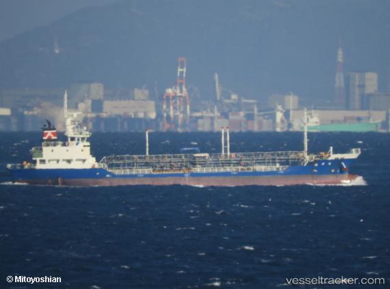
 Seikou Maru
Current Status
Where is the vessel?
Seikou Maru is currently in Near Yawata, based on AIS data received about 2h ago.
Latest AIS update:
Current position: 35.54333° N, 140.08167° E (Near Yawata)
Average speed (last 7 days): Loading…
Average speed (last 30 days): Loading…
Vessel profile: Seikou Maru is a Oil Products Tanker with dimensions 72m x 72m.
This page combines live AIS, route history, probable destination signals, nearby traffic, and port activity for practical vessel monitoring.
The current position of vessel Seikou Maru is 35.54333 lat / 140.08167 lng. Updated: 2026-04-26 00:40:05 UTCNearest reference points:
- Near ANEGASAKI
- Near Aomi
- Near Kawasaki
Currently sailing under the flag of Japan ![]()
Details:
Live Vessel Seikou Maru Analytics (details, animations, etc.)
Recent AIS points (UTC):
2026-04-25 22:35:51 UTC · 35.55069, 140.01997 · SOG 0 kn · COG 0°2026-04-25 23:42:04 UTC · 35.54454, 140.08194 · SOG 0.1 kn · COG 161°
2026-04-26 00:40:05 UTC · 35.54333, 140.08167 · SOG 0 kn · COG -1°
2026-04-26 00:40:05 UTC · 35.54333, 140.08167 · SOG 0 kn · COG -1°