 vesseltracker.com
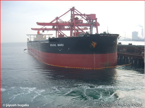
 BRASIL MARU
Current Status
Where is the vessel?
BRASIL MARU is currently in 69 nm W of Uiryeong-gun, based on AIS data received less than 1h ago.
Latest AIS update:
Current position: 25.16333° N, 126.98667° E (69 nm W of Uiryeong-gun)
Average speed (last 7 days): Loading…
Average speed (last 30 days): Loading…
Vessel profile: BRASIL MARU is a Ore Carrier with dimensions m x m.
This page combines live AIS, route history, probable destination signals, nearby traffic, and port activity for practical vessel monitoring.
The current position of vessel BRASIL MARU is 25.16333 lat / 126.98667 lng. Updated: 2026-04-25 22:29:06 UTCNearest reference points:
- 77 nm SE of Miyakojima
Currently sailing under the flag of Japan ![]()
Details:
Live Vessel BRASIL MARU Analytics (details, animations, etc.)
Recent AIS points (UTC):
2026-04-25 19:39:11 UTC · 25.48598, 127.44052 · SOG 11.1 kn · COG 231°2026-04-25 20:11:02 UTC · 25.42500, 127.35500 · SOG 11 kn · COG -1°
2026-04-25 22:02:04 UTC · 25.21333, 127.05833 · SOG 10 kn · COG -1°
2026-04-25 22:29:06 UTC · 25.16333, 126.98667 · SOG 11 kn · COG -1°