 vesseltracker.com
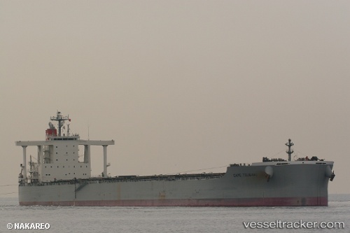
 Cape Tsubaki
Current Status
Where is the vessel?
Cape Tsubaki is currently in 14 nm E of DALRYMPLE, based on AIS data received less than 1h ago.
Latest AIS update:
Current position: 21.21167° S, 149.54500° E (14 nm E of DALRYMPLE)
Average speed (last 7 days): Loading…
Average speed (last 30 days): Loading…
Vessel profile: Cape Tsubaki is a Bulk Carrier with dimensions 292m x 45m.
This page combines live AIS, route history, probable destination signals, nearby traffic, and port activity for practical vessel monitoring.
The current position of vessel Cape Tsubaki is -21.21167 lat / 149.54500 lng. Updated: 2026-05-17 15:25:14 UTCNearest reference points:
- Near Mackay
- Near Whitsunday Island
- Near AIRLIE
Currently sailing under the flag of Japan ![]()
Cape Tsubaki built in 2010 year
Deadweight:
182718 tDetails:
Live Vessel Cape Tsubaki Analytics (details, animations, etc.)
Recent AIS points (UTC):
2026-05-17 12:10:16 UTC · -21.21333, 149.54333 · SOG 0 kn · COG -1°2026-05-17 13:07:13 UTC · -21.21333, 149.54333 · SOG 0 kn · COG -1°
2026-05-17 13:28:12 UTC · -21.21333, 149.54333 · SOG 0 kn · COG -1°
2026-05-17 15:25:14 UTC · -21.21167, 149.54500 · SOG 0 kn · COG -1°