 vesseltracker.com
 INWANG
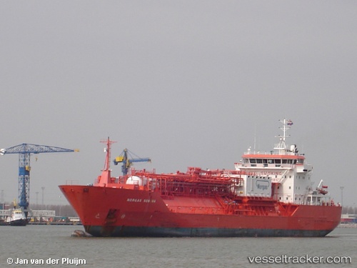
Current Status
Where is the vessel?
INWANG is currently in 114 nm NE of Abakaliki, based on AIS data received about 1h ago.
Latest AIS update:
Current position: 8.08667° N, 86.74333° E (114 nm NE of Abakaliki)
Average speed (last 7 days): Loading…
Average speed (last 30 days): Loading…
Vessel profile: INWANG is a LPG Tanker with dimensions 125m x 20m.
This page combines live AIS, route history, probable destination signals, nearby traffic, and port activity for practical vessel monitoring.
The current position of vessel INWANG is 8.08667 lat / 86.74333 lng. Updated: 2026-05-16 05:48:22 UTCNearest reference points:
- 23 nm S of Abakaliki
- 46 nm SW of Abakaliki
Currently sailing under the flag of Korea (Republic of) ![]()
INWANG built in 2003 year
Deadweight:
9352 tDetails:
Live Vessel INWANG Analytics (details, animations, etc.)
Recent AIS points (UTC):
2026-05-16 02:18:27 UTC · 7.49500, 87.07333 · SOG 11 kn · COG -1°2026-05-16 03:33:20 UTC · 7.70667, 86.96167 · SOG 11 kn · COG -1°
2026-05-16 04:15:20 UTC · 7.82667, 86.89833 · SOG 11 kn · COG -1°
2026-05-16 05:48:22 UTC · 8.08667, 86.74333 · SOG 11 kn · COG -1°