 vesseltracker.com
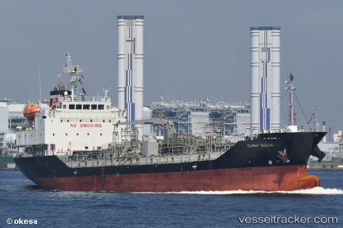
 SUNNY QUEEN
Current Status
Where is the vessel?
SUNNY QUEEN is currently in 51 nm NE of Benchamas, based on AIS data received about 18h ago.
Latest AIS update:
Current position: 11.11021° N, 101.93434° E (51 nm NE of Benchamas)
Average speed (last 7 days): Loading…
Average speed (last 30 days): Loading…
Vessel profile: SUNNY QUEEN is a Tanker with dimensions m x m.
This page combines live AIS, route history, probable destination signals, nearby traffic, and port activity for practical vessel monitoring.
The current position of vessel SUNNY QUEEN is 11.11021 lat / 101.93434 lng. Updated: 2026-04-26 00:31:03 UTCNearest reference points:
- 43 nm E of Benchamas
- 43 nm SW of Chanthaburi
- 33 nm S of SATTAHIP
Currently sailing under the flag of South Korea ![]()
Details:
Live Vessel SUNNY QUEEN Analytics (details, animations, etc.)
Recent AIS points (UTC):
2026-04-26 00:31:03 UTC · 11.11021, 101.93434 · SOG 11.5 kn · COG 151°2026-04-26 00:31:03 UTC · 11.11021, 101.93434 · SOG 11.5 kn · COG 151°
2026-04-26 00:31:03 UTC · 11.11021, 101.93434 · SOG 11.5 kn · COG 151°
2026-04-26 00:31:03 UTC · 11.11021, 101.93434 · SOG 11.5 kn · COG 151°