 vesseltracker.com
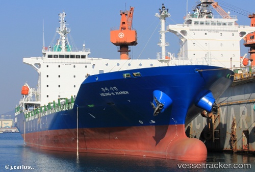
 HEUNG A XIAMEN
Current Status
Where is the vessel?
HEUNG A XIAMEN is currently in 14 nm NE of Kashima Ko, based on AIS data received less than 1h ago.
Latest AIS update:
Current position: 36.18667° N, 140.83667° E (14 nm NE of Kashima Ko)
Average speed (last 7 days): Loading…
Average speed (last 30 days): Loading…
Vessel profile: HEUNG A XIAMEN is a Cargo B with dimensions m x m.
This page combines live AIS, route history, probable destination signals, nearby traffic, and port activity for practical vessel monitoring.
The current position of vessel HEUNG A XIAMEN is 36.18667 lat / 140.83667 lng. Updated: 2026-04-25 17:32:38 UTCNearest reference points:
- Near Mito
- Near KASHIMA
- 12 nm E of CHOSHI
Currently sailing under the flag of South Korea ![]()
Details:
Live Vessel HEUNG A XIAMEN Analytics (details, animations, etc.)
Recent AIS points (UTC):
2026-04-25 13:56:10 UTC · 36.14782, 140.87750 · SOG 1.3 kn · COG 33°2026-04-25 15:23:40 UTC · 36.16167, 140.86166 · SOG 0 kn · COG -1°
2026-04-25 16:21:00 UTC · 36.17392, 140.85205 · SOG 1 kn · COG 25°
2026-04-25 17:32:38 UTC · 36.18667, 140.83667 · SOG 0 kn · COG -1°