 vesseltracker.com
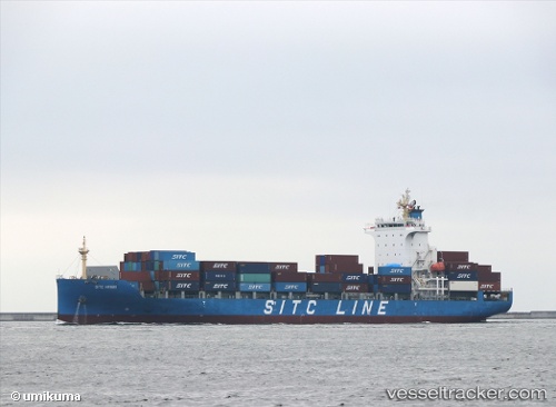
 HMM HARVEST
Current Status
Where is the vessel?
HMM HARVEST is currently in 40 nm S of SATTAHIP, based on AIS data received about 2h ago.
Latest AIS update:
Current position: 11.97186° N, 100.96609° E (40 nm S of SATTAHIP)
Average speed (last 7 days): Loading…
Average speed (last 30 days): Loading…
Vessel profile: HMM HARVEST is a Cargo with dimensions m x m.
This page combines live AIS, route history, probable destination signals, nearby traffic, and port activity for practical vessel monitoring.
The current position of vessel HMM HARVEST is 11.97186 lat / 100.96609 lng. Updated: 2026-04-28 15:20:04 UTCNearest reference points:
- 33 nm S of SATTAHIP
- 11 nm S of Map Ta Phut
- Near SATTAHIP
Currently sailing under the flag of South Korea ![]()
Details:
Live Vessel HMM HARVEST Analytics (details, animations, etc.)
Recent AIS points (UTC):
2026-04-28 14:01:21 UTC · 12.28986, 100.79861 · SOG 16.5 kn · COG 157°2026-04-28 14:01:21 UTC · 12.28986, 100.79861 · SOG 16.5 kn · COG 157°
2026-04-28 15:20:04 UTC · 11.97186, 100.96609 · SOG 16.3 kn · COG 153°
2026-04-28 15:20:04 UTC · 11.97186, 100.96609 · SOG 16.3 kn · COG 153°