 vesseltracker.com
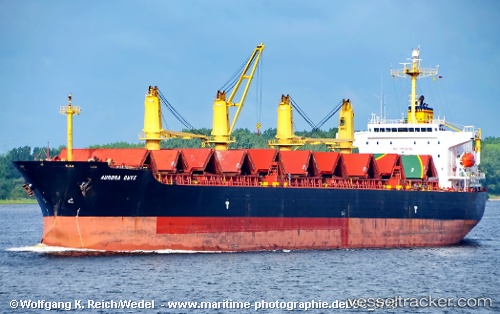
 ROSE MANN
Current Status
Where is the vessel?
ROSE MANN is currently in Near Chittagong, based on AIS data received about 1h ago.
Latest AIS update:
Current position: 22.21167° N, 91.74500° E (Near Chittagong)
Average speed (last 7 days): Loading…
Average speed (last 30 days): Loading…
Vessel profile: ROSE MANN is a Bulk Carrier with dimensions 31m x 189m.
This page combines live AIS, route history, probable destination signals, nearby traffic, and port activity for practical vessel monitoring.
The current position of vessel ROSE MANN is 22.21167 lat / 91.74500 lng. Updated: 2026-05-14 13:30:53 UTCNearest reference points:
- Near Chittagong
- 12 nm NW of Chattogram
- 23 nm NW of Cox's Bazar
Currently sailing under the flag of Korea (Republic of) ![]()
ROSE MANN built in 2002 year
Deadweight:
47305 tDetails:
Live Vessel ROSE MANN Analytics (details, animations, etc.)
Recent AIS points (UTC):
2026-05-14 10:30:52 UTC · 22.20833, 91.74667 · SOG 0 kn · COG -1°2026-05-14 11:46:40 UTC · 22.20946, 91.74745 · SOG 0.1 kn · COG 312°
2026-05-14 13:01:43 UTC · 22.21290, 91.74638 · SOG 0.1 kn · COG 174°
2026-05-14 13:30:53 UTC · 22.21167, 91.74500 · SOG 0 kn · COG -1°