 vesseltracker.com
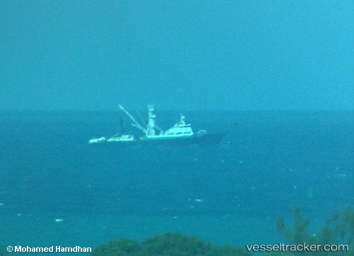
 NOUR
NOUR
Current Status
Where is the vessel?
NOUR is currently in 101 nm NW of Anse Kerlan, based on AIS data received about 6d ago.
Latest AIS update:
Current position: 2.76396° S, 55.01134° E (101 nm NW of Anse Kerlan)
Average speed (last 7 days): Loading…
Average speed (last 30 days): Loading…
Vessel profile: NOUR is a Fishing with dimensions m x m.
This page combines live AIS, route history, probable destination signals, nearby traffic, and port activity for practical vessel monitoring.
The current position of vessel NOUR is -2.76396 lat / 55.01134 lng. Updated: 2026-04-21 01:05:40 UTCNearest reference points:
- Near Mahé Island Apt
Currently sailing under the flag of Oman ![]()
Details:
Live Vessel NOUR Analytics (details, animations, etc.)
Recent AIS points (UTC):
2026-04-21 01:05:40 UTC · -2.76396, 55.01134 · SOG 11 kn · COG 326°2026-04-21 01:05:40 UTC · -2.76396, 55.01134 · SOG 11 kn · COG 326°
2026-04-21 01:05:40 UTC · -2.76396, 55.01134 · SOG 11 kn · COG 326°
2026-04-21 01:05:40 UTC · -2.76396, 55.01134 · SOG 11 kn · COG 326°