 vesseltracker.com
 DINASTY
Current Status
Where is the vessel?
DINASTY is currently in 45 nm NW of Mers El Kebir, based on AIS data received less than 1h ago.
Latest AIS update:
Current position: 36.36248° N, 1.21563° W (45 nm NW of Mers El Kebir)
Average speed (last 7 days): Loading…
Average speed (last 30 days): Loading…
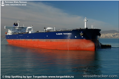
Vessel profile: DINASTY is a Crude Oil Tanker with dimensions m x m.
This page combines live AIS, route history, probable destination signals, nearby traffic, and port activity for practical vessel monitoring.
The current position of vessel DINASTY is 36.36248 lat / -1.21563 lng. Updated: 2026-04-23 09:44:34 UTCNearest reference points:
- 47 nm SE of CARBONERAS
- 45 nm N of Mers El Kebir
- 30 nm N of Mers El Kebir
Currently sailing under the flag of Oman ![]()
Details:
Live Vessel DINASTY Analytics (details, animations, etc.)
Recent AIS points (UTC):
2026-04-23 05:52:59 UTC · 36.21937, -2.25680 · SOG 11.5 kn · COG 79°2026-04-23 07:31:04 UTC · 36.29273, -1.79612 · SOG 15.3 kn · COG 78°
2026-04-23 07:33:17 UTC · 36.29442, -1.78478 · SOG 15.3 kn · COG 78°
2026-04-23 09:44:34 UTC · 36.36248, -1.21563 · SOG 11.4 kn · COG 80°