 vesseltracker.com
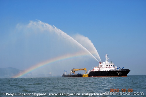
 Mutawa 12
Current Status
Where is the vessel?
Mutawa 12 is currently in Near Mina Zayed/Abu Dhabi, based on AIS data received less than 1h ago.
Latest AIS update:
Current position: 24.51656° N, 54.37340° E (Near Mina Zayed/Abu Dhabi)
Average speed (last 7 days): Loading…
Average speed (last 30 days): Loading…
Vessel profile: Mutawa 12 is a Offshore Tug Supply Ship with dimensions 54m x 54m.
This page combines live AIS, route history, probable destination signals, nearby traffic, and port activity for practical vessel monitoring.
The current position of vessel Mutawa 12 is 24.51656 lat / 54.37340 lng. Updated: 2026-05-01 22:35:39 UTCNearest reference points:
- Near Esnnad
- Near KHALIFA
- 16 nm NW of Jebel Ali
Currently sailing under the flag of UAE ![]()
Mutawa 12 built in 2010 year
Deadweight:
798 tDetails:
Live Vessel Mutawa 12 Analytics (details, animations, etc.)
Recent AIS points (UTC):
2026-05-01 19:26:40 UTC · 24.51656, 54.37339 · SOG 0 kn · COG 142°2026-05-01 19:44:41 UTC · 24.51657, 54.37341 · SOG 0 kn · COG 141°
2026-05-01 21:23:41 UTC · 24.51656, 54.37340 · SOG 0 kn · COG 140°
2026-05-01 22:35:39 UTC · 24.51656, 54.37340 · SOG 0 kn · COG 140°