 vesseltracker.com
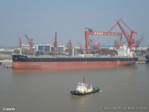
Eastern Bund
Current StatusWhere is the vessel?
Eastern Bund is currently in 15 nm N of Umm al Quwain, based on AIS data received about 1h ago.
Latest AIS update:
Current position: 25.82727° N, 55.53953° E (15 nm N of Umm al Quwain)
Average speed (last 7 days): Loading…
Average speed (last 30 days): Loading…
Vessel profile: Eastern Bund is a Bulk Carrier with dimensions 43m x 254m.
This page combines live AIS, route history, probable destination signals, nearby traffic, and port activity for practical vessel monitoring.
The current position of vessel Eastern Bund is 25.82727 lat / 55.53953 lng. Updated: 2026-05-16 07:32:37 UTCNearest reference points:
- 13 nm NW of Hulaylah Terminal
- Near Al Hamriyah
- Near Hulaylah Terminal
Details:
Live Vessel Eastern Bund Analytics (details, animations, etc.)
Recent AIS points (UTC):
2026-05-16 03:05:37 UTC · 25.82833, 55.53881 · SOG 0.1 kn · COG -1°2026-05-16 05:04:24 UTC · 25.82803, 55.53916 · SOG 0 kn · COG -1°
2026-05-16 07:01:04 UTC · 25.82748, 55.53943 · SOG 0.1 kn · COG -1°
2026-05-16 07:32:37 UTC · 25.82727, 55.53953 · SOG 0 kn · COG -1°