 vesseltracker.com
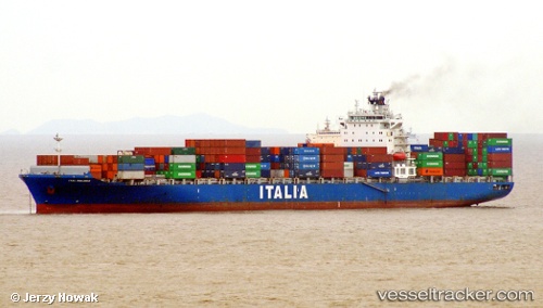
 NEWNEW PANDA 1
Current Status
Where is the vessel?
NEWNEW PANDA 1 is currently in 274 nm E of Suqutrá, based on AIS data received less than 1h ago.
Latest AIS update:
Current position: 13.41606° N, 58.59549° E (274 nm E of Suqutrá)
Average speed (last 7 days): Loading…
Average speed (last 30 days): Loading…
Vessel profile: NEWNEW PANDA 1 is a Container Ship with dimensions m x m.
This page combines live AIS, route history, probable destination signals, nearby traffic, and port activity for practical vessel monitoring.
The current position of vessel NEWNEW PANDA 1 is 13.41606 lat / 58.59549 lng. Updated: 2026-04-27 19:22:35 UTCNearest reference points:
- Open sea, approx. 412 nm off the nearest listed port
- Open sea, approx. 410 nm off the nearest listed port
- Open sea, approx. 413 nm off the nearest listed port
Currently sailing under the flag of Hong Kong ![]()
Details:
Live Vessel NEWNEW PANDA 1 Analytics (details, animations, etc.)
Recent AIS points (UTC):
2026-04-27 15:23:52 UTC · 13.73552, 57.60857 · SOG 15.6 kn · COG 107°2026-04-27 16:33:39 UTC · 13.64044, 57.90417 · SOG 15.5 kn · COG 108°
2026-04-27 17:42:57 UTC · 13.54708, 58.19363 · SOG 15 kn · COG 107°
2026-04-27 19:22:35 UTC · 13.41606, 58.59549 · SOG 14.9 kn · COG 110°