 vesseltracker.com
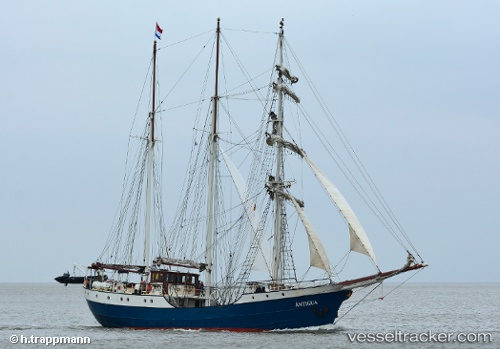
 Antigua
Current Status
Where is the vessel?
Antigua is currently in Near Sankt Ibb, based on AIS data received less than 1h ago.
Latest AIS update:
Current position: 55.92245° N, 12.69642° E (Near Sankt Ibb)
Average speed (last 7 days): Loading…
Average speed (last 30 days): Loading…
Vessel profile: Antigua is a Cruise Ship with dimensions 48m x 48m.
This page combines live AIS, route history, probable destination signals, nearby traffic, and port activity for practical vessel monitoring.
The current position of vessel Antigua is 55.92245 lat / 12.69642 lng. Updated: 2026-05-18 02:13:12 UTCNearest reference points:
- Near Sankt Ibb
- Near Rydebäck
- Near Land Skrona
Currently sailing under the flag of Netherlands ![]()
Antigua built in 1957 year
Details:
Live Vessel Antigua Analytics (details, animations, etc.)
Recent AIS points (UTC):
2026-05-17 22:40:13 UTC · 55.92258, 12.69656 · SOG 0 kn · COG 131°2026-05-17 23:22:13 UTC · 55.92253, 12.69651 · SOG 0.1 kn · COG 127°
2026-05-18 01:46:10 UTC · 55.92250, 12.69646 · SOG 0 kn · COG 122°
2026-05-18 02:13:12 UTC · 55.92245, 12.69642 · SOG 0 kn · COG 116°