 vesseltracker.com
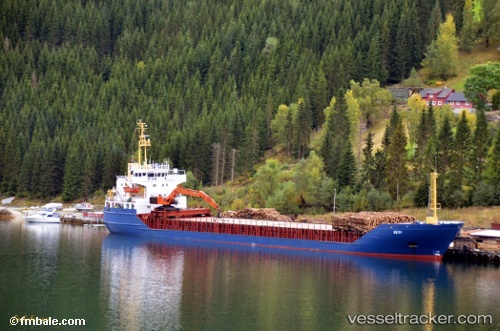
 LADY AYANA
Current Status
Where is the vessel?
LADY AYANA is currently in Near Sulina (Port et Zone Franche), based on AIS data received about 86d ago.
Latest AIS update:
Current position: 45.15684° N, 29.66021° E (Near Sulina (Port et Zone Franche))
Average speed (last 7 days): Loading…
Average speed (last 30 days): Loading…
Vessel profile: LADY AYANA is a General Cargo Ship with dimensions 105m x 16m.
This page combines live AIS, route history, probable destination signals, nearby traffic, and port activity for practical vessel monitoring.
The current position of vessel LADY AYANA is 45.15684 lat / 29.66021 lng. Updated: 2026-01-21 07:58:13 UTCNearest reference points:
- Near Ust-Dunaisk/Vylkove
- 12 nm SE of Sulina (Port et Zone Franche)
- 13 nm E of Sulina (Port et Zone Franche)
Currently sailing under the flag of Palau (Republic of) ![]()
LADY AYANA built in 1979 year
Deadweight:
5672 tDetails:
Live Vessel LADY AYANA Analytics (details, animations, etc.)
Recent AIS points (UTC):
2026-01-21 07:58:13 UTC · 45.15684, 29.66021 · SOG 0.2 kn · COG 268°