 vesseltracker.com
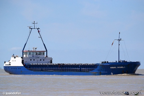
 BMO RIVER
Current Status
Where is the vessel?
BMO RIVER is currently in 64 nm NW of TAN TAN, based on AIS data received less than 1h ago.
Latest AIS update:
Current position: 29.29147° N, 12.13329° W (64 nm NW of TAN TAN)
Average speed (last 7 days): Loading…
Average speed (last 30 days): Loading…
Vessel profile: BMO RIVER is a General Cargo with dimensions 79m x 11m.
This page combines live AIS, route history, probable destination signals, nearby traffic, and port activity for practical vessel monitoring.
The current position of vessel BMO RIVER is 29.29147 lat / -12.13329 lng. Updated: 2026-04-19 02:04:59 UTCNearest reference points:
- 84 nm NE of ORZOLA
- Near Lanzarote
- Near LAS COLORADAS
Currently sailing under the flag of Palau ![]()
BMO RIVER built in 1986 year
Deadweight:
1613 tDetails:
Live Vessel BMO RIVER Analytics (details, animations, etc.)
Recent AIS points (UTC):
2026-04-18 20:19:41 UTC · 28.69328, -12.70694 · SOG 7.5 kn · COG 38°2026-04-18 21:26:09 UTC · 28.80127, -12.60116 · SOG 7.9 kn · COG 39°
2026-04-19 00:13:30 UTC · 29.08975, -12.32340 · SOG 8.6 kn · COG 40°
2026-04-19 02:04:59 UTC · 29.29147, -12.13329 · SOG 8.4 kn · COG 39°