 vesseltracker.com
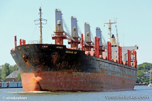
 GOZO
GOZO
Current Status
Where is the vessel?
GOZO is currently in Near Nemrut Bay, based on AIS data received about 1h ago.
Latest AIS update:
Current position: 38.76543° N, 26.88782° E (Near Nemrut Bay)
Average speed (last 7 days): Loading…
Average speed (last 30 days): Loading…
Vessel profile: GOZO is a Bulk Carrier with dimensions m x m.
This page combines live AIS, route history, probable destination signals, nearby traffic, and port activity for practical vessel monitoring.
The current position of vessel GOZO is 38.76543 lat / 26.88782 lng. Updated: 2026-05-14 13:51:12 UTCNearest reference points:
- Near Nemrut Bay
- Near NEMRUT
- Near Aliaga
Currently sailing under the flag of Palau ![]()
Details:
Live Vessel GOZO Analytics (details, animations, etc.)
Recent AIS points (UTC):
2026-05-14 10:06:10 UTC · 38.76512, 26.88744 · SOG 0.2 kn · COG 313°2026-05-14 12:15:10 UTC · 38.76507, 26.88755 · SOG 0.1 kn · COG 326°
2026-05-14 13:33:12 UTC · 38.76535, 26.88778 · SOG 0 kn · COG 319°
2026-05-14 13:51:12 UTC · 38.76543, 26.88782 · SOG 0 kn · COG 313°