 vesseltracker.com
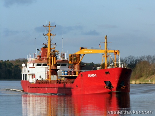
 MARY
MARY
Current Status
Where is the vessel?
MARY is currently in 31 nm W of Psará, based on AIS data received less than 1h ago.
Latest AIS update:
Current position: 38.39737° N, 24.93902° E (31 nm W of Psará)
Average speed (last 7 days): Loading…
Average speed (last 30 days): Loading…
Vessel profile: MARY is a General Cargo with dimensions m x m.
This page combines live AIS, route history, probable destination signals, nearby traffic, and port activity for practical vessel monitoring.
The current position of vessel MARY is 38.39737 lat / 24.93902 lng. Updated: 2026-05-13 19:16:37 UTCNearest reference points:
- 16 nm E of Skíros
- 28 nm NW of Psará
- 29 nm SW of Sigri Lesvou
Currently sailing under the flag of Palau ![]()
Details:
Live Vessel MARY Analytics (details, animations, etc.)
Recent AIS points (UTC):
2026-05-13 16:25:24 UTC · 38.03314, 24.68131 · SOG 8.2 kn · COG 29°2026-05-13 17:12:04 UTC · 38.12953, 24.75338 · SOG 8.8 kn · COG 26°
2026-05-13 18:17:20 UTC · 38.27067, 24.85609 · SOG 8.7 kn · COG 29°
2026-05-13 19:16:37 UTC · 38.39737, 24.93902 · SOG 8.5 kn · COG 14°