 vesseltracker.com
 LUCKY SEA
Current Status
Where is the vessel?
LUCKY SEA is currently in Near Krautsand, based on AIS data received less than 1h ago.
Latest AIS update:
Current position: 53.75373° N, 9.40182° E (Near Krautsand)
Average speed (last 7 days): Loading…
Average speed (last 30 days): Loading…
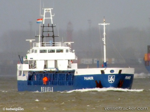
Vessel profile: LUCKY SEA is a General Cargo with dimensions m x m.
This page combines live AIS, route history, probable destination signals, nearby traffic, and port activity for practical vessel monitoring.
The current position of vessel LUCKY SEA is 53.75373 lat / 9.40182 lng. Updated: 2026-04-27 23:40:06 UTCNearest reference points:
- Near Abbenfleth
- Near Stader Sand
- Near STADE
Currently sailing under the flag of Palau ![]()
Details:
Live Vessel LUCKY SEA Analytics (details, animations, etc.)
Recent AIS points (UTC):
2026-04-27 20:14:35 UTC · 53.94857, 8.63027 · SOG 10.5 kn · COG 115°2026-04-27 22:05:55 UTC · 53.87217, 9.08153 · SOG 10.1 kn · COG 67°
2026-04-27 22:50:35 UTC · 53.86395, 9.28487 · SOG 9.9 kn · COG 113°
2026-04-27 23:40:06 UTC · 53.75373, 9.40182 · SOG 9.3 kn · COG 146°