 vesseltracker.com
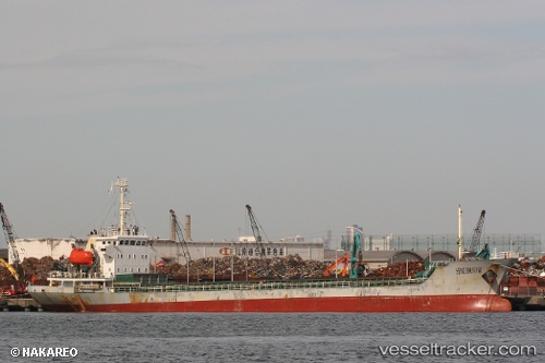
 BROTHER 36
Current Status
Where is the vessel?
BROTHER 36 is currently in Near Ha Long, based on AIS data received about 59d ago.
Latest AIS update:
Current position: 20.93199° N, 107.06802° E (Near Ha Long)
Average speed (last 7 days): Loading…
Average speed (last 30 days): Loading…
Vessel profile: BROTHER 36 is a Cargo with dimensions m x m.
This page combines live AIS, route history, probable destination signals, nearby traffic, and port activity for practical vessel monitoring.
The current position of vessel BROTHER 36 is 20.93199 lat / 107.06802 lng. Updated: 2026-03-02 04:05:38 UTCNearest reference points:
- Near Nam Hai Dinh Vu Port
- 14 nm SE of Nam Hai Dinh Vu Port
- Near Dinh Vu Terminal
Currently sailing under the flag of Palau ![]()
Details:
Live Vessel BROTHER 36 Analytics (details, animations, etc.)
Recent AIS points (UTC):
2026-03-02 04:05:38 UTC · 20.93199, 107.06802 · SOG 0 kn · COG -1°