 vesseltracker.com
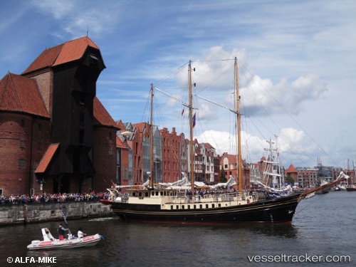
 Skonnerten Jylland
Current Status
Where is the vessel?
Skonnerten Jylland is currently in Near Thyborøn, based on AIS data received about 2h ago.
Latest AIS update:
Current position: 56.70335° N, 8.22462° E (Near Thyborøn)
Average speed (last 7 days): Loading…
Average speed (last 30 days): Loading…
Vessel profile: Skonnerten Jylland is a Cruise Ship with dimensions 31m x 6m.
This page combines live AIS, route history, probable destination signals, nearby traffic, and port activity for practical vessel monitoring.
The current position of vessel Skonnerten Jylland is 56.70335 lat / 8.22462 lng. Updated: 2026-05-15 01:15:17 UTCNearest reference points:
- Near Thyborøn
- Near Kleppen
- Near HANSTHOLM
Currently sailing under the flag of Denmark ![]()
Skonnerten Jylland built in 1951 year
Deadweight:
218 tDetails:
Live Vessel Skonnerten Jylland Analytics (details, animations, etc.)
Recent AIS points (UTC):
2026-05-14 21:56:18 UTC · 56.70336, 8.22461 · SOG 0.1 kn · COG 342°2026-05-14 22:35:17 UTC · 56.70335, 8.22461 · SOG 0.1 kn · COG 342°
2026-05-14 23:55:18 UTC · 56.70335, 8.22461 · SOG 0 kn · COG 341°
2026-05-15 01:15:17 UTC · 56.70335, 8.22462 · SOG 0.1 kn · COG 341°