 vesseltracker.com
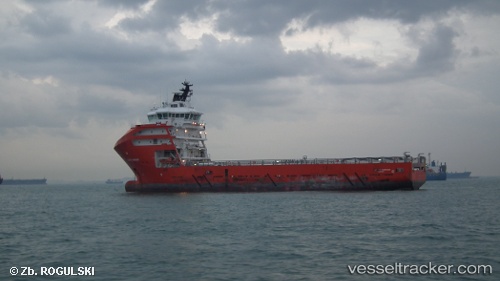
Pacific Harrier
Current StatusWhere is the vessel?
Pacific Harrier is currently in 37 nm SE of Senipah Oil Terminal, based on AIS data received less than 1h ago.
Latest AIS update:
Current position: 1.34779° S, 117.76870° E (37 nm SE of Senipah Oil Terminal)
Average speed (last 7 days): Loading…
Average speed (last 30 days): Loading…
Vessel profile: Pacific Harrier is a Offshore Tug Supply Ship with dimensions 19m x 88m.
This page combines live AIS, route history, probable destination signals, nearby traffic, and port activity for practical vessel monitoring.
The current position of vessel Pacific Harrier is -1.34779 lat / 117.76870 lng. Updated: 2026-05-14 20:17:56 UTCNearest reference points:
- 18 nm E of Senipah Oil Terminal
- 11 nm NE of Senipah Oil Terminal
- 24 nm E of Handil
Details:
Live Vessel Pacific Harrier Analytics (details, animations, etc.)
Recent AIS points (UTC):
2026-05-14 07:02:46 UTC · -1.34656, 117.76922 · SOG 0.7 kn · COG 25°2026-05-14 07:02:46 UTC · -1.34656, 117.76922 · SOG 0.7 kn · COG 25°
2026-05-14 19:17:46 UTC · -1.34766, 117.76868 · SOG 0 kn · COG 25°
2026-05-14 20:17:56 UTC · -1.34779, 117.76870 · SOG 0 kn · COG 45°