 vesseltracker.com
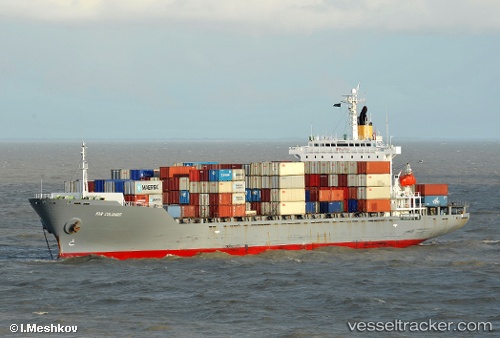
 Tanto Pratama
Current Status
Where is the vessel?
Tanto Pratama is currently in 25 nm SW of Banting, based on AIS data received less than 1h ago.
Latest AIS update:
Current position: 2.44132° N, 101.29828° E (25 nm SW of Banting)
Average speed (last 7 days): Loading…
Average speed (last 30 days): Loading…
Vessel profile: Tanto Pratama is a Container Ship with dimensions 182m x 28m.
This page combines live AIS, route history, probable destination signals, nearby traffic, and port activity for practical vessel monitoring.
The current position of vessel Tanto Pratama is 2.44132 lat / 101.29828 lng. Updated: 2026-04-25 04:32:32 UTCNearest reference points:
- 14 nm SW of Banting
- 15 nm SW of Banting
- 13 nm SW of PORT DICKSON
Currently sailing under the flag of Indonesia ![]()
Details:
Live Vessel Tanto Pratama Analytics (details, animations, etc.)
Recent AIS points (UTC):
2026-04-25 01:29:03 UTC · 2.63276, 100.81008 · SOG 9.6 kn · COG -1°2026-04-25 02:06:53 UTC · 2.54971, 100.87338 · SOG 9.9 kn · COG -1°
2026-04-25 03:31:47 UTC · 2.49742, 101.11612 · SOG 12.6 kn · COG -1°
2026-04-25 04:32:32 UTC · 2.44132, 101.29828 · SOG 10.8 kn · COG -1°