 vesseltracker.com
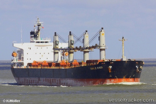
Manalagi Hita
Current StatusWhere is the vessel?
Manalagi Hita is currently in 16 nm E of Tanjung Merangas, based on AIS data received about 1h ago.
Latest AIS update:
Current position: 0.09351° N, 117.77002° E (16 nm E of Tanjung Merangas)
Average speed (last 7 days): Loading…
Average speed (last 30 days): Loading…
Vessel profile: Manalagi Hita is a Bulk Carrier with dimensions 32m x 190m.
This page combines live AIS, route history, probable destination signals, nearby traffic, and port activity for practical vessel monitoring.
The current position of vessel Manalagi Hita is 0.09351 lat / 117.77002 lng. Updated: 2026-04-27 16:18:39 UTCNearest reference points:
- Near Santan Terminal
- 16 nm SE of Santan Terminal
- Near TANJUNG BARA
Details:
Live Vessel Manalagi Hita Analytics (details, animations, etc.)
Recent AIS points (UTC):
2026-04-26 06:52:06 UTC · 1.90162, 124.73425 · SOG 13.3 kn · COG -1°2026-04-26 06:52:06 UTC · 1.90162, 124.73425 · SOG 13.3 kn · COG -1°
2026-04-26 06:52:06 UTC · 1.90162, 124.73425 · SOG 13.3 kn · COG -1°
2026-04-27 16:18:39 UTC · 0.09351, 117.77002 · SOG 12.6 kn · COG -1°