 vesseltracker.com
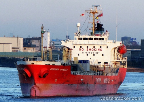
 EROWATI I
Current Status
Where is the vessel?
EROWATI I is currently in Near Map Ta Phut, based on AIS data received less than 1h ago.
Latest AIS update:
Current position: 12.66722° N, 101.13953° E (Near Map Ta Phut)
Average speed (last 7 days): Loading…
Average speed (last 30 days): Loading…
Vessel profile: EROWATI I is a Oil/Chemical Tanker with dimensions m x m.
This page combines live AIS, route history, probable destination signals, nearby traffic, and port activity for practical vessel monitoring.
The current position of vessel EROWATI I is 12.66722 lat / 101.13953 lng. Updated: 2026-04-30 17:32:18 UTCNearest reference points:
- 11 nm S of Map Ta Phut
- Near SATTAHIP
- Near Tips Container Terminal
Currently sailing under the flag of Indonesia ![]()
Details:
Live Vessel EROWATI I Analytics (details, animations, etc.)
Recent AIS points (UTC):
2026-04-30 13:57:21 UTC · 12.59403, 101.20390 · SOG 3.2 kn · COG 281°2026-04-30 15:35:17 UTC · 12.66728, 101.13955 · SOG 0 kn · COG 180°
2026-04-30 16:11:20 UTC · 12.66722, 101.13960 · SOG 0.1 kn · COG 180°
2026-04-30 17:32:18 UTC · 12.66722, 101.13953 · SOG 0.1 kn · COG 180°