 vesseltracker.com
 SINAR KINTAMANI
Current Status
Where is the vessel?
SINAR KINTAMANI is currently in 36 nm E of RAHA, based on AIS data received less than 1h ago.
Latest AIS update:
Current position: 5.04394° S, 123.29227° E (36 nm E of RAHA)
Average speed (last 7 days): Loading…
Average speed (last 30 days): Loading…
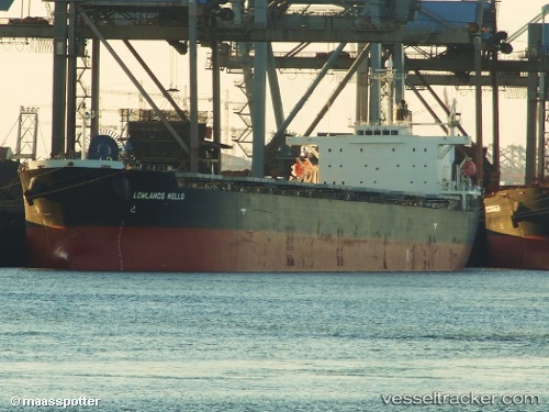
Vessel profile: SINAR KINTAMANI is a Bulk Carrier with dimensions m x m.
This page combines live AIS, route history, probable destination signals, nearby traffic, and port activity for practical vessel monitoring.
The current position of vessel SINAR KINTAMANI is -5.04394 lat / 123.29227 lng. Updated: 2026-04-28 22:59:41 UTCNearest reference points:
- Near Labuan
- Near BAUBAU
- 11 nm NW of KENDARI
Currently sailing under the flag of Indonesia ![]()
Details:
Live Vessel SINAR KINTAMANI Analytics (details, animations, etc.)
Recent AIS points (UTC):
2026-04-28 17:44:44 UTC · -4.04314, 123.34592 · SOG 11.8 kn · COG 181°2026-04-28 19:39:21 UTC · -4.40759, 123.33025 · SOG 11.5 kn · COG 184°
2026-04-28 21:55:01 UTC · -4.83120, 123.30461 · SOG 11.6 kn · COG 183°
2026-04-28 22:59:41 UTC · -5.04394, 123.29227 · SOG 12.1 kn · COG 186°