 vesseltracker.com
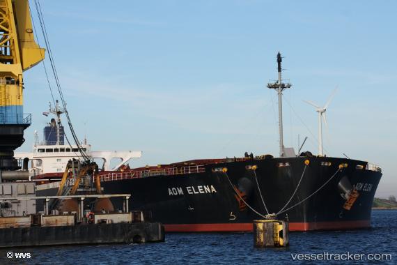
 IMS BALI
Current Status
Where is the vessel?
IMS BALI is currently in 37 nm SE of MEKAR PUTIH, based on AIS data received less than 1h ago.
Latest AIS update:
Current position: 4.58505° S, 116.29127° E (37 nm SE of MEKAR PUTIH)
Average speed (last 7 days): Loading…
Average speed (last 30 days): Loading…
Vessel profile: IMS BALI is a Bulk Carrier with dimensions m x m.
This page combines live AIS, route history, probable destination signals, nearby traffic, and port activity for practical vessel monitoring.
The current position of vessel IMS BALI is -4.58505 lat / 116.29127 lng. Updated: 2026-05-14 23:36:08 UTCNearest reference points:
- 70 nm S of MEKAR PUTIH
- 74 nm S of MEKAR PUTIH
- 12 nm SE of Bunati
Currently sailing under the flag of Indonesia ![]()
Details:
Live Vessel IMS BALI Analytics (details, animations, etc.)
Recent AIS points (UTC):
2026-05-14 17:03:41 UTC · -4.84658, 117.37017 · SOG 10.2 kn · COG 269°2026-05-14 22:05:07 UTC · -4.62770, 116.54668 · SOG 10.2 kn · COG 295°
2026-05-14 22:05:07 UTC · -4.62770, 116.54668 · SOG 10.2 kn · COG 295°
2026-05-14 23:36:08 UTC · -4.58505, 116.29127 · SOG 10.1 kn · COG 280°