 vesseltracker.com
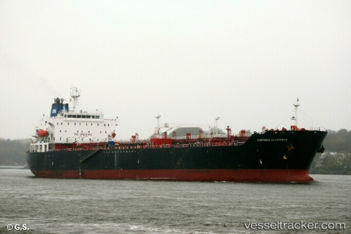
 Ambermar
Current Status
Where is the vessel?
Ambermar is currently in 74 nm NE of Tjirebon, based on AIS data received less than 1h ago.
Latest AIS update:
Current position: 5.65500° S, 109.24500° E (74 nm NE of Tjirebon)
Average speed (last 7 days): Loading…
Average speed (last 30 days): Loading…
Vessel profile: Ambermar is a Multi Purpose Carrier with dimensions 183m x 183m.
This page combines live AIS, route history, probable destination signals, nearby traffic, and port activity for practical vessel monitoring.
The current position of vessel Ambermar is -5.65500 lat / 109.24500 lng. Updated: 2026-04-25 04:25:17 UTCNearest reference points:
- 26 nm N of Pemalang
- 25 nm N of Gunungsari
- Near Batang
Currently sailing under the flag of Indonesia ![]()
Ambermar built in 2002 year
Deadweight:
35970 tDetails:
Live Vessel Ambermar Analytics (details, animations, etc.)
Recent AIS points (UTC):
2026-04-25 01:28:23 UTC · -5.69500, 108.65833 · SOG 11 kn · COG -1°2026-04-25 02:04:17 UTC · -5.68167, 108.77667 · SOG 11 kn · COG -1°
2026-04-25 03:31:20 UTC · -5.66667, 109.06500 · SOG 11 kn · COG -1°
2026-04-25 04:25:17 UTC · -5.65500, 109.24500 · SOG 11 kn · COG -1°