 vesseltracker.com
 SARAH S
Current Status
Where is the vessel?
SARAH S is currently in 57 nm S of Labuha, Molucas, based on AIS data received less than 1h ago.
Latest AIS update:
Current position: 1.55500° S, 127.38500° E (57 nm S of Labuha, Molucas)
Average speed (last 7 days): Loading…
Average speed (last 30 days): Loading…
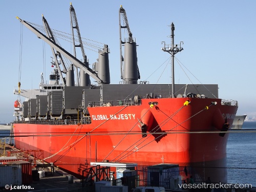
Vessel profile: SARAH S is a General Cargo Ship with dimensions 32m x 190m.
This page combines live AIS, route history, probable destination signals, nearby traffic, and port activity for practical vessel monitoring.
The current position of vessel SARAH S is -1.55500 lat / 127.38500 lng. Updated: 2026-04-24 23:51:34 UTCNearest reference points:
- 55 nm S of Labuha, Molucas
- 69 nm NW of Wainibe
- 13 nm NE of WEDA
Currently sailing under the flag of Indonesia ![]()
SARAH S built in 2012 year
Deadweight:
56052 tDetails:
Live Vessel SARAH S Analytics (details, animations, etc.)
Recent AIS points (UTC):
2026-04-24 19:29:02 UTC · -1.55833, 127.38500 · SOG 0 kn · COG -1°2026-04-24 22:13:04 UTC · -1.55500, 127.38667 · SOG 0 kn · COG -1°
2026-04-24 22:28:02 UTC · -1.55500, 127.38667 · SOG 0 kn · COG -1°
2026-04-24 23:51:34 UTC · -1.55500, 127.38500 · SOG 0 kn · COG -1°