 vesseltracker.com
 JENGGALA 21
Current Status
Where is the vessel?
JENGGALA 21 is currently in 72 nm NE of Kampung Tanjung Langsat, based on AIS data received less than 1h ago.
Latest AIS update:
Current position: 2.36870° N, 104.80988° E (72 nm NE of Kampung Tanjung Langsat)
Average speed (last 7 days): Loading…
Average speed (last 30 days): Loading…
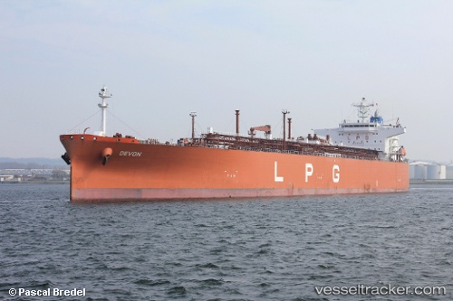
Vessel profile: JENGGALA 21 is a Lpg Tanker with dimensions m x m.
This page combines live AIS, route history, probable destination signals, nearby traffic, and port activity for practical vessel monitoring.
The current position of vessel JENGGALA 21 is 2.36870 lat / 104.80988 lng. Updated: 2026-05-01 17:07:38 UTCNearest reference points:
- 64 nm NE of PENGERANG
- 80 nm SW of Terempa
- 53 nm NE of PENGERANG
Currently sailing under the flag of Indonesia ![]()
Details:
Live Vessel JENGGALA 21 Analytics (details, animations, etc.)
Recent AIS points (UTC):
2026-05-01 10:32:41 UTC · 3.91598, 105.55073 · SOG 16.1 kn · COG 208°2026-05-01 16:01:31 UTC · 2.61610, 104.93752 · SOG 15.2 kn · COG 207°
2026-05-01 16:25:20 UTC · 2.52584, 104.89256 · SOG 15.1 kn · COG 207°
2026-05-01 17:07:38 UTC · 2.36870, 104.80988 · SOG 15 kn · COG 209°