 vesseltracker.com
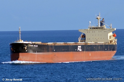
 PRIMA PIONEER
Current Status
Where is the vessel?
PRIMA PIONEER is currently in 27 nm E of BAUBAU, based on AIS data received less than 1h ago.
Latest AIS update:
Current position: 5.53978° S, 123.04058° E (27 nm E of BAUBAU)
Average speed (last 7 days): Loading…
Average speed (last 30 days): Loading…
Vessel profile: PRIMA PIONEER is a Bulk Carrier with dimensions m x m.
This page combines live AIS, route history, probable destination signals, nearby traffic, and port activity for practical vessel monitoring.
The current position of vessel PRIMA PIONEER is -5.53978 lat / 123.04058 lng. Updated: 2026-04-28 22:59:45 UTCNearest reference points:
- Near BAUBAU
- Near Labuan
- 11 nm NW of KENDARI
Currently sailing under the flag of Indonesia ![]()
Details:
Live Vessel PRIMA PIONEER Analytics (details, animations, etc.)
Recent AIS points (UTC):
2026-04-28 17:45:13 UTC · -5.74250, 122.27840 · SOG 9.8 kn · COG 92°2026-04-28 20:11:44 UTC · -5.74855, 122.67178 · SOG 9.9 kn · COG 93°
2026-04-28 21:54:53 UTC · -5.64613, 122.90848 · SOG 9.7 kn · COG 52°
2026-04-28 22:59:45 UTC · -5.53978, 123.04058 · SOG 8.9 kn · COG 51°