 vesseltracker.com
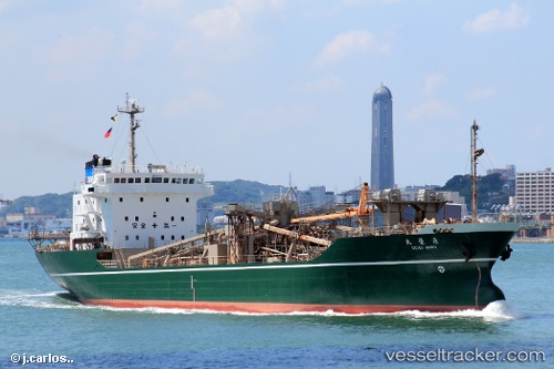
 MV HEBAT
Current Status
Where is the vessel?
MV HEBAT is currently in 41 nm NW of TANJUNG JATI, based on AIS data received about 1h ago.
Latest AIS update:
Current position: 6.02000° S, 110.18333° E (41 nm NW of TANJUNG JATI)
Average speed (last 7 days): Loading…
Average speed (last 30 days): Loading…
Vessel profile: MV HEBAT is a Cement Carrier with dimensions m x m.
This page combines live AIS, route history, probable destination signals, nearby traffic, and port activity for practical vessel monitoring.
The current position of vessel MV HEBAT is -6.02000 lat / 110.18333 lng. Updated: 2026-04-26 02:05:17 UTCNearest reference points:
- Near Batang
- 26 nm N of Pemalang
- 49 nm NE of TANJUNG JATI
Currently sailing under the flag of Indonesia ![]()
Details:
Live Vessel MV HEBAT Analytics (details, animations, etc.)
Recent AIS points (UTC):
2026-04-25 22:23:17 UTC · -5.64667, 109.62667 · SOG 10 kn · COG -1°2026-04-25 23:23:16 UTC · -5.74667, 109.77500 · SOG 10 kn · COG -1°
2026-04-26 01:38:20 UTC · -5.97500, 110.11500 · SOG 11 kn · COG -1°
2026-04-26 02:05:17 UTC · -6.02000, 110.18333 · SOG 10 kn · COG -1°