 vesseltracker.com
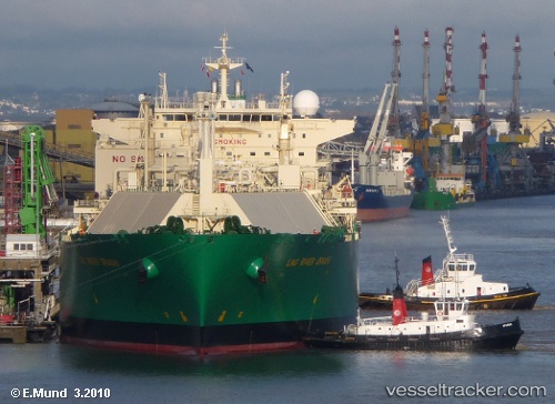
 GAS GARUDA
Current Status
Where is the vessel?
GAS GARUDA is currently in Near BITUNG, based on AIS data received about 1h ago.
Latest AIS update:
Current position: 1.41843° N, 125.14630° E (Near BITUNG)
Average speed (last 7 days): Loading…
Average speed (last 30 days): Loading…
Vessel profile: GAS GARUDA is a Lng Tanker with dimensions m x m.
This page combines live AIS, route history, probable destination signals, nearby traffic, and port activity for practical vessel monitoring.
The current position of vessel GAS GARUDA is 1.41843 lat / 125.14630 lng. Updated: 2026-05-15 00:14:49 UTCNearest reference points:
- Near BITUNG
- Near TERNATE
Currently sailing under the flag of Indonesia ![]()
Details:
Live Vessel GAS GARUDA Analytics (details, animations, etc.)
Recent AIS points (UTC):
2026-05-14 19:46:38 UTC · 1.41833, 125.14833 · SOG 0 kn · COG -1°2026-05-14 21:08:50 UTC · 1.41823, 125.14789 · SOG 0 kn · COG 213°
2026-05-14 22:17:49 UTC · 1.41815, 125.14781 · SOG 0.1 kn · COG 213°
2026-05-15 00:14:49 UTC · 1.41843, 125.14630 · SOG 0 kn · COG 165°