 vesseltracker.com
 Aliyah Pratama
Current Status
Where is the vessel?
Aliyah Pratama is currently in 104 nm NE of PANGKAL BALAM, based on AIS data received about 6h ago.
Latest AIS update:
Current position: 0.63862° S, 107.06400° E (104 nm NE of PANGKAL BALAM)
Average speed (last 7 days): Loading…
Average speed (last 30 days): Loading…
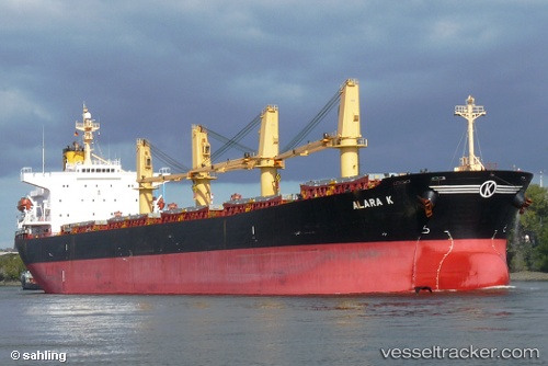
Vessel profile: Aliyah Pratama is a Bulk Carrier with dimensions 190m x 32m.
This page combines live AIS, route history, probable destination signals, nearby traffic, and port activity for practical vessel monitoring.
The current position of vessel Aliyah Pratama is -0.63862 lat / 107.06400 lng. Updated: 2026-05-14 02:58:05 UTCNearest reference points:
- 69 nm NE of Exspan
- 46 nm NW of Tanjung Pandan
- 74 nm N of Belitung
Currently sailing under the flag of Indonesia ![]()
Aliyah Pratama built in 2001 year
Deadweight:
52413 tDetails:
Live Vessel Aliyah Pratama Analytics (details, animations, etc.)
Recent AIS points (UTC):
2026-05-14 02:58:05 UTC · -0.63862, 107.06400 · SOG 12.1 kn · COG 137°2026-05-14 02:58:05 UTC · -0.63862, 107.06400 · SOG 12.1 kn · COG 137°
2026-05-14 02:58:05 UTC · -0.63862, 107.06400 · SOG 12.1 kn · COG 137°
2026-05-14 02:58:05 UTC · -0.63862, 107.06400 · SOG 12.1 kn · COG 137°