 vesseltracker.com
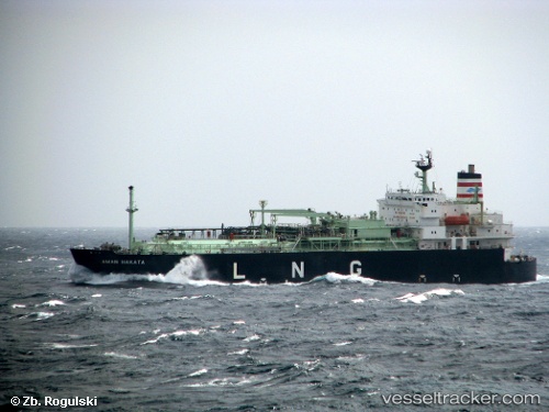
Pelita Energy
Current StatusWhere is the vessel?
Pelita Energy is currently in Near Tanjung Merangas, based on AIS data received about 1h ago.
Latest AIS update:
Current position: 0.00997° N, 117.61487° E (Near Tanjung Merangas)
Average speed (last 7 days): Loading…
Average speed (last 30 days): Loading…
Vessel profile: Pelita Energy is a Lng Tanker with dimensions 26m x 130m.
This page combines live AIS, route history, probable destination signals, nearby traffic, and port activity for practical vessel monitoring.
The current position of vessel Pelita Energy is 0.00997 lat / 117.61487 lng. Updated: 2026-04-23 20:01:42 UTCNearest reference points:
- Near Santan Terminal
- 16 nm SE of Santan Terminal
- Near TANJUNG BARA
Details:
Live Vessel Pelita Energy Analytics (details, animations, etc.)
Recent AIS points (UTC):
2026-04-23 16:45:56 UTC · 0.01167, 117.61500 · SOG 0 kn · COG -1°2026-04-23 17:58:44 UTC · 0.01190, 117.61443 · SOG 0 kn · COG 113°
2026-04-23 19:25:49 UTC · 0.01025, 117.61464 · SOG 0.2 kn · COG 58°
2026-04-23 20:01:42 UTC · 0.00997, 117.61487 · SOG 0.2 kn · COG 38°