 vesseltracker.com
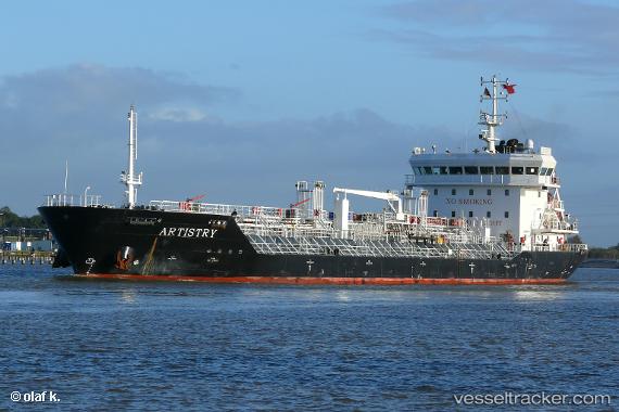
 METRO MARITIM II
Current Status
Where is the vessel?
METRO MARITIM II is currently in Near BAUBAU, based on AIS data received less than 1h ago.
Latest AIS update:
Current position: 5.44333° S, 122.61833° E (Near BAUBAU)
Average speed (last 7 days): Loading…
Average speed (last 30 days): Loading…
Vessel profile: METRO MARITIM II is a Chemical/Oil Products Tanker with dimensions 110m x 19m.
This page combines live AIS, route history, probable destination signals, nearby traffic, and port activity for practical vessel monitoring.
The current position of vessel METRO MARITIM II is -5.44333 lat / 122.61833 lng. Updated: 2026-05-16 01:49:03 UTCNearest reference points:
- Near BAUBAU
- Near Labuan
- 13 nm S of KOLAKA
Currently sailing under the flag of Indonesia ![]()
METRO MARITIM II built in 2007 year
Deadweight:
9040 tDetails:
Live Vessel METRO MARITIM II Analytics (details, animations, etc.)
Recent AIS points (UTC):
2026-05-15 22:46:04 UTC · -5.44333, 122.61833 · SOG 0 kn · COG -1°2026-05-15 23:27:09 UTC · -5.44371, 122.61916 · SOG 0 kn · COG -1°
2026-05-16 01:24:15 UTC · -5.44468, 122.61916 · SOG 0 kn · COG -1°
2026-05-16 01:49:03 UTC · -5.44333, 122.61833 · SOG 0 kn · COG -1°