 vesseltracker.com
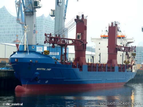
 FATIMA V
Current Status
Where is the vessel?
FATIMA V is currently in 10 nm N of Palu, based on AIS data received about 1d ago.
Latest AIS update:
Current position: 0.72500° S, 119.78500° E (10 nm N of Palu)
Average speed (last 7 days): Loading…
Average speed (last 30 days): Loading…
Vessel profile: FATIMA V is a General Cargo with dimensions m x m.
This page combines live AIS, route history, probable destination signals, nearby traffic, and port activity for practical vessel monitoring.
The current position of vessel FATIMA V is -0.72500 lat / 119.78500 lng. Updated: 2026-05-15 03:18:48 UTCNearest reference points:
- 39 nm W of Labuanbajo
- 29 nm W of Labuanbajo
- 56 nm SE of Santan Terminal
Currently sailing under the flag of Indonesia ![]()
Details:
Live Vessel FATIMA V Analytics (details, animations, etc.)
Recent AIS points (UTC):
2026-05-15 03:18:48 UTC · -0.72500, 119.78500 · SOG 8 kn · COG -1°2026-05-15 03:18:48 UTC · -0.72500, 119.78500 · SOG 8 kn · COG -1°
2026-05-15 03:18:48 UTC · -0.72500, 119.78500 · SOG 8 kn · COG -1°
2026-05-15 03:18:48 UTC · -0.72500, 119.78500 · SOG 8 kn · COG -1°