 vesseltracker.com
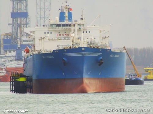
 GAS BENUA
Current Status
Where is the vessel?
GAS BENUA is currently in 11 nm E of Balikpapan, based on AIS data received about 1h ago.
Latest AIS update:
Current position: 1.33359° S, 116.98417° E (11 nm E of Balikpapan)
Average speed (last 7 days): Loading…
Average speed (last 30 days): Loading…
Vessel profile: GAS BENUA is a Lpg Tanker with dimensions m x m.
This page combines live AIS, route history, probable destination signals, nearby traffic, and port activity for practical vessel monitoring.
The current position of vessel GAS BENUA is -1.33359 lat / 116.98417 lng. Updated: 2026-05-13 20:00:26 UTCNearest reference points:
- 11 nm SE of Balikpapan
- Near Balikpapan
- Near KARIANGAU
Currently sailing under the flag of Indonesia ![]()
Details:
Live Vessel GAS BENUA Analytics (details, animations, etc.)
Recent AIS points (UTC):
2026-05-13 16:06:26 UTC · -1.33329, 116.98375 · SOG 0 kn · COG 216°2026-05-13 17:30:25 UTC · -1.33306, 116.98349 · SOG 0 kn · COG 206°
2026-05-13 19:18:28 UTC · -1.33338, 116.98392 · SOG 0 kn · COG 225°
2026-05-13 20:00:26 UTC · -1.33359, 116.98417 · SOG 0.1 kn · COG 233°