 vesseltracker.com
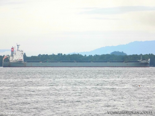
 VITTORIA
Current Status
Where is the vessel?
VITTORIA is currently in 102 nm E of Evans Landing, based on AIS data received less than 1h ago.
Latest AIS update:
Current position: 12.81144° S, 143.58472° E (102 nm E of Evans Landing)
Average speed (last 7 days): Loading…
Average speed (last 30 days): Loading…
Vessel profile: VITTORIA is a Bulk Carrier with dimensions m x m.
This page combines live AIS, route history, probable destination signals, nearby traffic, and port activity for practical vessel monitoring.
The current position of vessel VITTORIA is -12.81144 lat / 143.58472 lng. Updated: 2026-05-14 10:24:08 UTCNearest reference points:
- Near Thursday Island
- Near Torres Strait
Currently sailing under the flag of Malaysia ![]()
Details:
Live Vessel VITTORIA Analytics (details, animations, etc.)
Recent AIS points (UTC):
2026-05-14 07:38:45 UTC · -12.41433, 143.36121 · SOG 9.5 kn · COG 151°2026-05-14 07:44:12 UTC · -12.42666, 143.36833 · SOG 9 kn · COG -1°
2026-05-14 09:35:13 UTC · -12.69167, 143.51334 · SOG 10 kn · COG -1°
2026-05-14 10:24:08 UTC · -12.81144, 143.58472 · SOG 10.1 kn · COG 154°