 vesseltracker.com
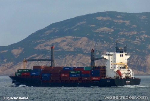
Mtt Pasir Gudang
Current StatusWhere is the vessel?
Mtt Pasir Gudang is currently in Near Kota Kinabalu, based on AIS data received about 37d ago.
Latest AIS update:
Current position: 6.08308° N, 116.10483° E (Near Kota Kinabalu)
Average speed (last 7 days): Loading…
Average speed (last 30 days): Loading…
Vessel profile: Mtt Pasir Gudang is a Container Ship with dimensions 27m x 175m.
This page combines live AIS, route history, probable destination signals, nearby traffic, and port activity for practical vessel monitoring.
The current position of vessel Mtt Pasir Gudang is 6.08308 lat / 116.10483 lng. Updated: 2026-04-08 05:44:02 UTCNearest reference points:
- Near Kota Kinabalu
- 44 nm SW of Tembungo
- Near Kikeh
Details:
Live Vessel Mtt Pasir Gudang Analytics (details, animations, etc.)
Recent AIS points (UTC):
2026-04-08 05:44:02 UTC · 6.08308, 116.10483 · SOG 0.3 kn · COG -1°