 vesseltracker.com
 Amur River
Current Status
Where is the vessel?
Amur River is currently in 263 nm S of Diego Garcia, based on AIS data received about 2h ago.
Latest AIS update:
Current position: 11.69276° S, 72.35266° E (263 nm S of Diego Garcia)
Average speed (last 7 days): Loading…
Average speed (last 30 days): Loading…
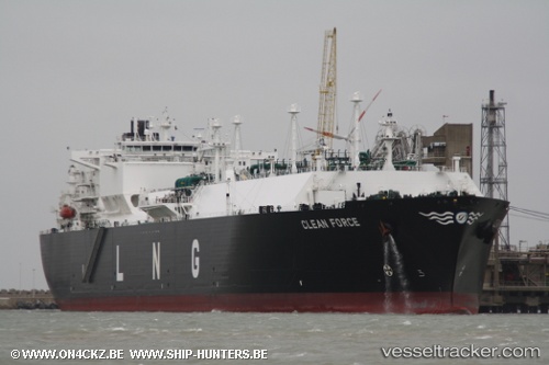
Vessel profile: Amur River is a Lng Tanker with dimensions 288m x 44m.
This page combines live AIS, route history, probable destination signals, nearby traffic, and port activity for practical vessel monitoring.
The current position of vessel Amur River is -11.69276 lat / 72.35266 lng. Updated: 2026-04-28 07:39:19 UTCNearest reference points:
- 263 nm S of Diego Garcia
- 253 nm S of Diego Garcia
- 376 nm S of Diego Garcia
Currently sailing under the flag of Marshall Is ![]()
Amur River built in 2008 year
Deadweight:
84598 tDetails:
Live Vessel Amur River Analytics (details, animations, etc.)
Recent AIS points (UTC):
2026-04-28 04:29:44 UTC · -12.07500, 71.77500 · SOG 12 kn · COG -1°2026-04-28 06:26:45 UTC · -11.83667, 72.12833 · SOG 12 kn · COG -1°
2026-04-28 07:34:47 UTC · -11.70222, 72.33885 · SOG 13.1 kn · COG 56°
2026-04-28 07:39:19 UTC · -11.69276, 72.35266 · SOG 13 kn · COG 57°