 vesseltracker.com
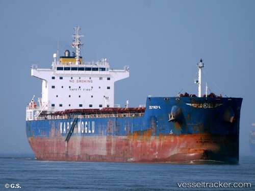
 Globe Electra
Current Status
Where is the vessel?
Globe Electra is currently in Open sea, approx. 459 nm off the nearest listed port, based on AIS data received less than 1h ago.
Latest AIS update:
Current position: 12.97265° S, 67.24147° E (Open sea, approx. 459 nm off the nearest listed port)
Average speed (last 7 days): Loading…
Average speed (last 30 days): Loading…
Vessel profile: Globe Electra is a Bulk Carrier with dimensions 229m x 32m.
This page combines live AIS, route history, probable destination signals, nearby traffic, and port activity for practical vessel monitoring.
The current position of vessel Globe Electra is -12.97265 lat / 67.24147 lng. Updated: 2026-04-24 17:41:22 UTCNearest reference points:
- Open sea, approx. 459 nm off the nearest listed port
- Open sea, approx. 458 nm off the nearest listed port
- Open sea, approx. 456 nm off the nearest listed port
Currently sailing under the flag of Marshall Is ![]()
Globe Electra built in 2010 year
Deadweight:
80370 tDetails:
Live Vessel Globe Electra Analytics (details, animations, etc.)
Recent AIS points (UTC):
2026-04-24 14:24:08 UTC · -12.53358, 67.76478 · SOG 12.4 kn · COG 231°2026-04-24 15:21:57 UTC · -12.66503, 67.60855 · SOG 12.7 kn · COG 230°
2026-04-24 16:29:08 UTC · -12.81512, 67.43070 · SOG 12.1 kn · COG 231°
2026-04-24 17:41:22 UTC · -12.97265, 67.24147 · SOG 12.4 kn · COG 232°