 vesseltracker.com
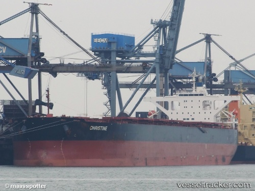
Star Martha
Current StatusWhere is the vessel?
Star Martha is currently in 160 nm E of Ilha de Itamaracá, based on AIS data received about 1h ago.
Latest AIS update:
Current position: 7.74162° S, 32.12427° W (160 nm E of Ilha de Itamaracá)
Average speed (last 7 days): Loading…
Average speed (last 30 days): Loading…
Vessel profile: Star Martha is a Bulk Carrier with dimensions 45m x 289m.
This page combines live AIS, route history, probable destination signals, nearby traffic, and port activity for practical vessel monitoring.
The current position of vessel Star Martha is -7.74162 lat / -32.12427 lng. Updated: 2026-05-15 23:36:22 UTCDetails:
Live Vessel Star Martha Analytics (details, animations, etc.)
Recent AIS points (UTC):
2026-05-15 19:54:20 UTC · -7.29333, -32.57667 · SOG 10 kn · COG -1°2026-05-15 22:09:42 UTC · -7.56324, -32.29846 · SOG 10.2 kn · COG 134°
2026-05-15 22:37:24 UTC · -7.62059, -32.24388 · SOG 10.2 kn · COG 136°
2026-05-15 23:36:22 UTC · -7.74162, -32.12427 · SOG 10.3 kn · COG 131°