 vesseltracker.com
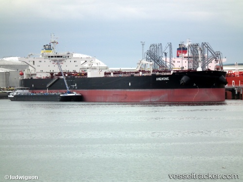
Rio Orinoco
Current StatusWhere is the vessel?
Rio Orinoco is currently in Near Amuay, based on AIS data received about 1h ago.
Latest AIS update:
Current position: 11.79332° N, 70.29756° W (Near Amuay)
Average speed (last 7 days): Loading…
Average speed (last 30 days): Loading…
Vessel profile: Rio Orinoco is a Crude Oil Tanker with dimensions 48m x 274m.
This page combines live AIS, route history, probable destination signals, nearby traffic, and port activity for practical vessel monitoring.
The current position of vessel Rio Orinoco is 11.79332 lat / -70.29756 lng. Updated: 2026-05-16 05:53:01 UTCNearest reference points:
- Near Las Piedras
- 24 nm NW of Palm Beach
- Near Bullenbaai
Details:
Live Vessel Rio Orinoco Analytics (details, animations, etc.)
Recent AIS points (UTC):
2026-05-16 02:35:01 UTC · 11.79349, -70.29754 · SOG 0 kn · COG 80°2026-05-16 04:08:01 UTC · 11.79332, -70.29750 · SOG 0 kn · COG 79°
2026-05-16 04:10:59 UTC · 11.79325, -70.29753 · SOG 0 kn · COG 76°
2026-05-16 05:53:01 UTC · 11.79332, -70.29756 · SOG 0 kn · COG 75°