 vesseltracker.com
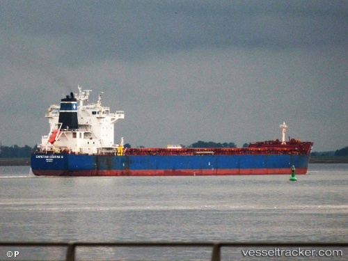
 Capetan Costas S
Current Status
Where is the vessel?
Capetan Costas S is currently in Near Al Jeer Port, based on AIS data received less than 1h ago.
Latest AIS update:
Current position: 26.12565° N, 55.99677° E (Near Al Jeer Port)
Average speed (last 7 days): Loading…
Average speed (last 30 days): Loading…
Vessel profile: Capetan Costas S is a Bulk Carrier with dimensions 229m x 229m.
This page combines live AIS, route history, probable destination signals, nearby traffic, and port activity for practical vessel monitoring.
The current position of vessel Capetan Costas S is 26.12565 lat / 55.99677 lng. Updated: 2026-04-25 23:05:20 UTCNearest reference points:
- Near Stevin Rock
- Near Hulaylah Terminal
- Near Rak Maritime City
Currently sailing under the flag of Marshall Is ![]()
Capetan Costas S built in 2012 year
Deadweight:
81542 tDetails:
Live Vessel Capetan Costas S Analytics (details, animations, etc.)
Recent AIS points (UTC):
2026-04-25 19:41:20 UTC · 26.12488, 55.99387 · SOG 0.1 kn · COG 126°2026-04-25 20:02:23 UTC · 26.12527, 55.99444 · SOG 0.1 kn · COG 145°
2026-04-25 21:56:23 UTC · 26.12576, 55.99639 · SOG 0.1 kn · COG 188°
2026-04-25 23:05:20 UTC · 26.12565, 55.99677 · SOG 0.1 kn · COG 195°