 vesseltracker.com
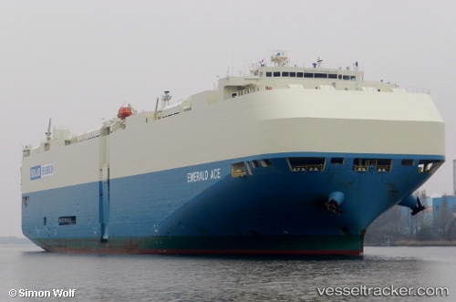
Emerald Ace
Current StatusWhere is the vessel?
Emerald Ace is currently in 12 nm S of Lazaro Cardenas, based on AIS data received about 1h ago.
Latest AIS update:
Current position: 17.73943° N, 102.15251° W (12 nm S of Lazaro Cardenas)
Average speed (last 7 days): Loading…
Average speed (last 30 days): Loading…
Vessel profile: Emerald Ace is a Vehicles Carrier with dimensions 32m x 200m.
This page combines live AIS, route history, probable destination signals, nearby traffic, and port activity for practical vessel monitoring.
The current position of vessel Emerald Ace is 17.73943 lat / -102.15251 lng. Updated: 2026-04-29 17:34:44 UTCNearest reference points:
- Near Lazaro Cardenas
- Near Ixtapa/Zihuatanejo
- 43 nm SW of Antunez
Details:
Live Vessel Emerald Ace Analytics (details, animations, etc.)
Recent AIS points (UTC):
2026-04-29 14:12:23 UTC · 17.73887, -102.14298 · SOG 1.1 kn · COG 57°2026-04-29 15:25:03 UTC · 17.74275, -102.13585 · SOG 0.2 kn · COG 5°
2026-04-29 16:19:23 UTC · 17.74096, -102.14249 · SOG 0.4 kn · COG 299°
2026-04-29 17:34:44 UTC · 17.73943, -102.15251 · SOG 0.5 kn · COG 318°