 vesseltracker.com
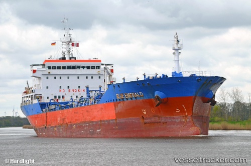
Blue Emerald
Current StatusWhere is the vessel?
Blue Emerald is currently in Near Douala, based on AIS data received about 2h ago.
Latest AIS update:
Current position: 4.05708° N, 9.69329° E (Near Douala)
Average speed (last 7 days): Loading…
Average speed (last 30 days): Loading…
Vessel profile: Blue Emerald is a Chemical Oil Products Tanker with dimensions 23m x 144m.
This page combines live AIS, route history, probable destination signals, nearby traffic, and port activity for practical vessel monitoring.
The current position of vessel Blue Emerald is 4.05708 lat / 9.69329 lng. Updated: 2026-05-13 17:25:55 UTCNearest reference points:
- Near Victoria
- Near Moudi Terminal
- Near Calabar
Details:
Live Vessel Blue Emerald Analytics (details, animations, etc.)
Recent AIS points (UTC):
2026-05-13 14:21:05 UTC · 4.05710, 9.69327 · SOG 0 kn · COG 32°2026-05-13 15:37:56 UTC · 4.05710, 9.69330 · SOG 0 kn · COG 32°
2026-05-13 16:33:55 UTC · 4.05706, 9.69331 · SOG 0 kn · COG 32°
2026-05-13 17:25:55 UTC · 4.05708, 9.69329 · SOG 0 kn · COG 32°