 vesseltracker.com
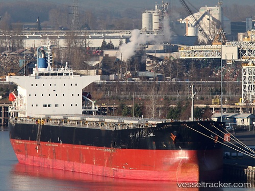
Bryant
Current StatusWhere is the vessel?
Bryant is currently in Near Clallam Bay, based on AIS data received less than 1h ago.
Latest AIS update:
Current position: 48.40468° N, 124.33220° W (Near Clallam Bay)
Average speed (last 7 days): Loading…
Average speed (last 30 days): Loading…
Vessel profile: Bryant is a Bulk Carrier with dimensions 32m x 225m.
This page combines live AIS, route history, probable destination signals, nearby traffic, and port activity for practical vessel monitoring.
The current position of vessel Bryant is 48.40468 lat / -124.33220 lng. Updated: 2026-05-15 18:10:14 UTCNearest reference points:
- Near Clallam Bay
- Near Colwood
- 21 nm NW of Tatoosh Island
Details:
Live Vessel Bryant Analytics (details, animations, etc.)
Recent AIS points (UTC):
2026-05-15 13:57:51 UTC · 48.43373, -123.20377 · SOG 15.5 kn · COG 176°2026-05-15 15:46:01 UTC · 48.26098, -123.57123 · SOG 14.5 kn · COG 281°
2026-05-15 16:43:27 UTC · 48.29388, -123.92207 · SOG 12.7 kn · COG 283°
2026-05-15 18:10:14 UTC · 48.40468, -124.33220 · SOG 12.3 kn · COG 291°