 vesseltracker.com
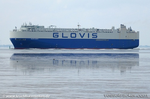
Glovis Summit
Current StatusWhere is the vessel?
Glovis Summit is currently in 28 nm SE of Cornwall, based on AIS data received about 20d ago.
Latest AIS update:
Current position: 49.72944° N, 3.62878° W (28 nm SE of Cornwall)
Average speed (last 7 days): Loading…
Average speed (last 30 days): Loading…
Vessel profile: Glovis Summit is a Vehicles Carrier with dimensions 35m x 199m.
This page combines live AIS, route history, probable destination signals, nearby traffic, and port activity for practical vessel monitoring.
The current position of vessel Glovis Summit is 49.72944 lat / -3.62878 lng. Updated: 2026-04-24 08:47:58 UTCNearest reference points:
- 27 nm N of Verzy
- 12 nm S of Cornwall
- Near Dartmouth
Details:
Live Vessel Glovis Summit Analytics (details, animations, etc.)
Recent AIS points (UTC):
2026-04-24 08:47:58 UTC · 49.72944, -3.62878 · SOG 6.3 kn · COG 237°